
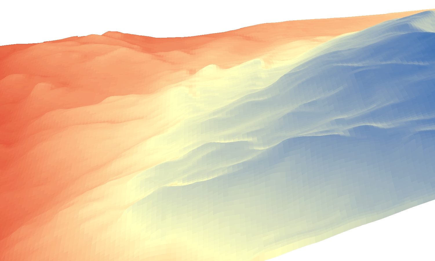
1st return DEM made from 0.7m ground sample distance airborne lidar of a section of the Denver Metro Area.
Natural Neighbor was used to interpolate the point data to a raster format. Image
was generated in ArcScene by draping the DEM over itself.
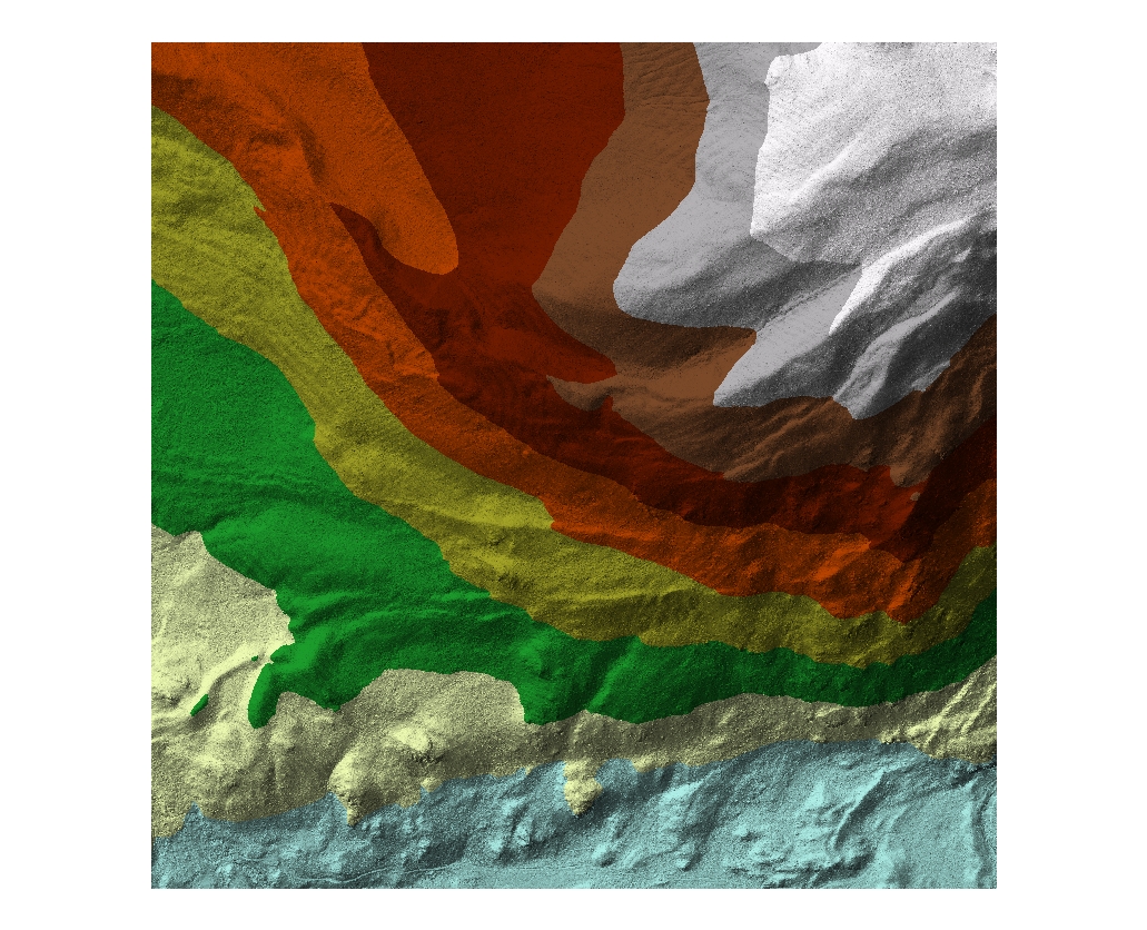
Natural Neighbor was used to interpolate the point data to a raster format. Image
was generated in ArcScene by draping the DEM over itself.
